

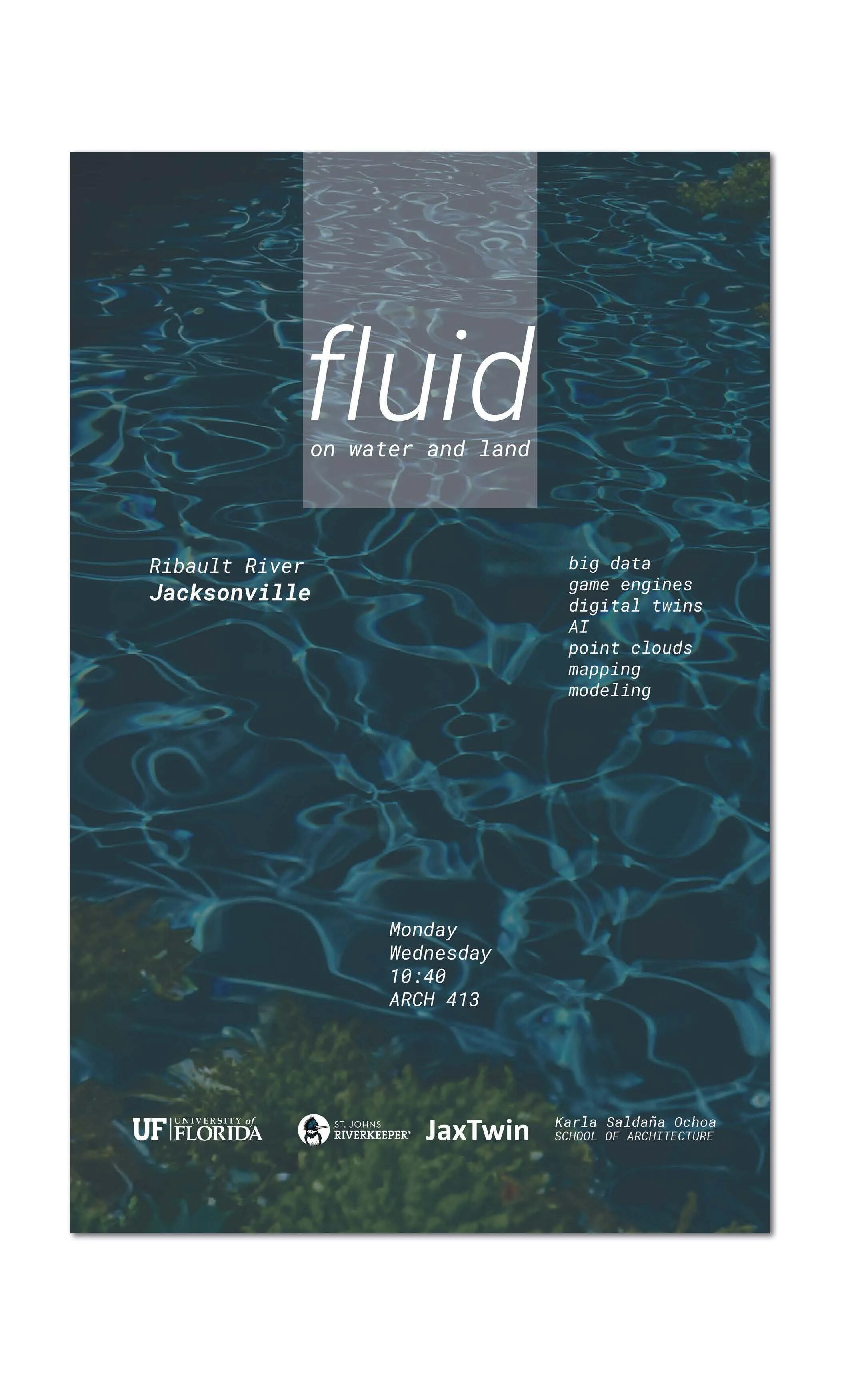
Fluid
Ribault River - Jacksonville
Design Studio 2024
Download Book
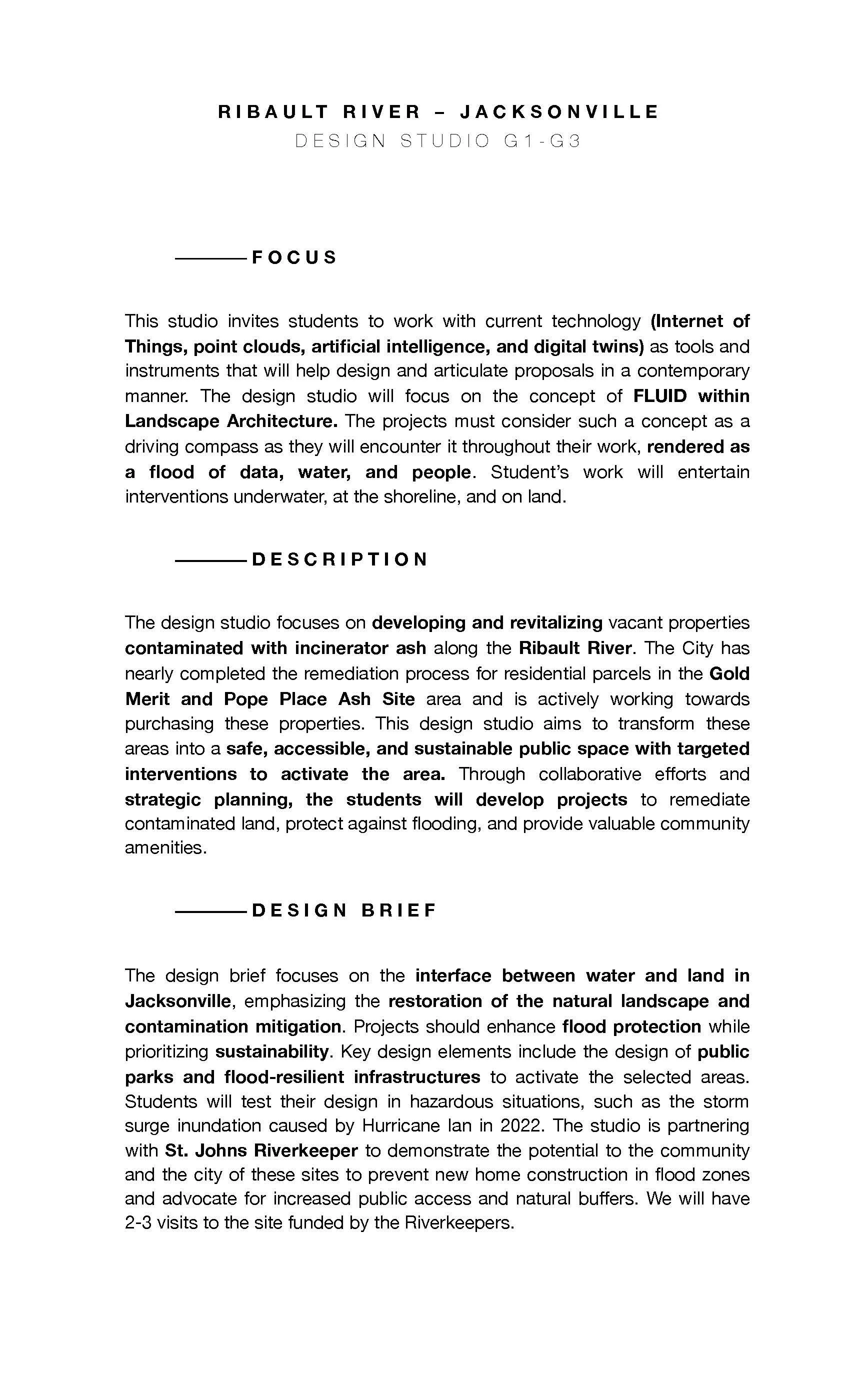
FOCUS
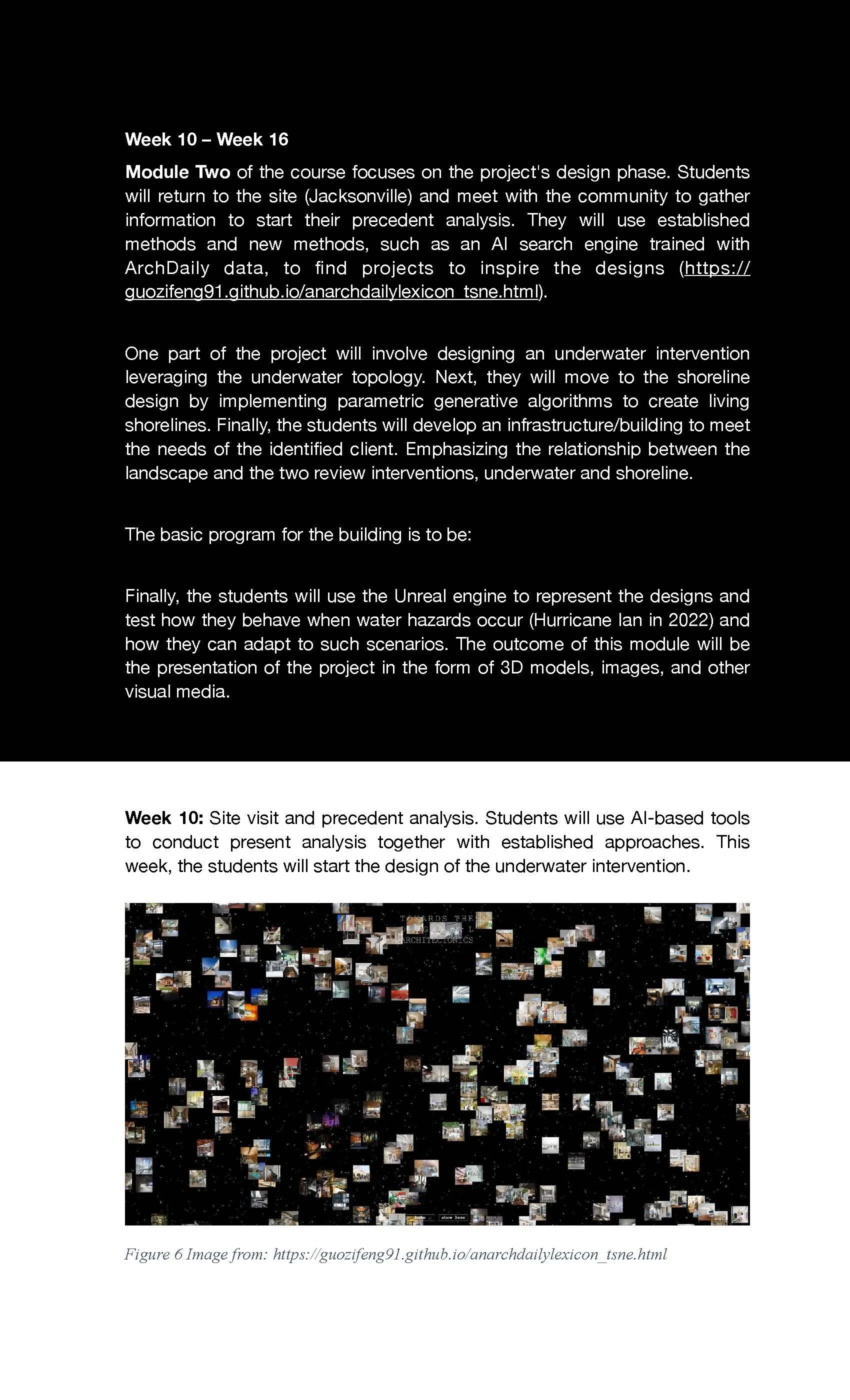
This studio invites students to work with current technology (Internet of Things, point clouds, artificial intelligence, and digital twins) as tools and instruments that will help design and articulate proposals in a contemporary manner. The design studio will focus on the concept of FLUID within Landscape Architecture. The projects must consider such a concept as a driving compass as they will encounter it throughout their work, rendered as a flood of data, water, and people. Students’ work will entertain interventions underwater, at the shoreline, and on land.
DESCRIPTION
The design studio focuses on developing and revitalizing vacant properties contaminated with incinerator ash along the Ribault River. The City has nearly completed the remediation process for residential parcels in the Gold Merit and Pope Place Ash Site area and is actively working towards purchasing these properties. This design studio aims to transform these areas into a safe, accessible, and sustainable public space with targeted interventions to activate the area. Through collaborative efforts and strategic planning, the students will develop projects to remediate contaminated land, protect against flooding, and provide valuable community amenities.
DESIGN BRIEF
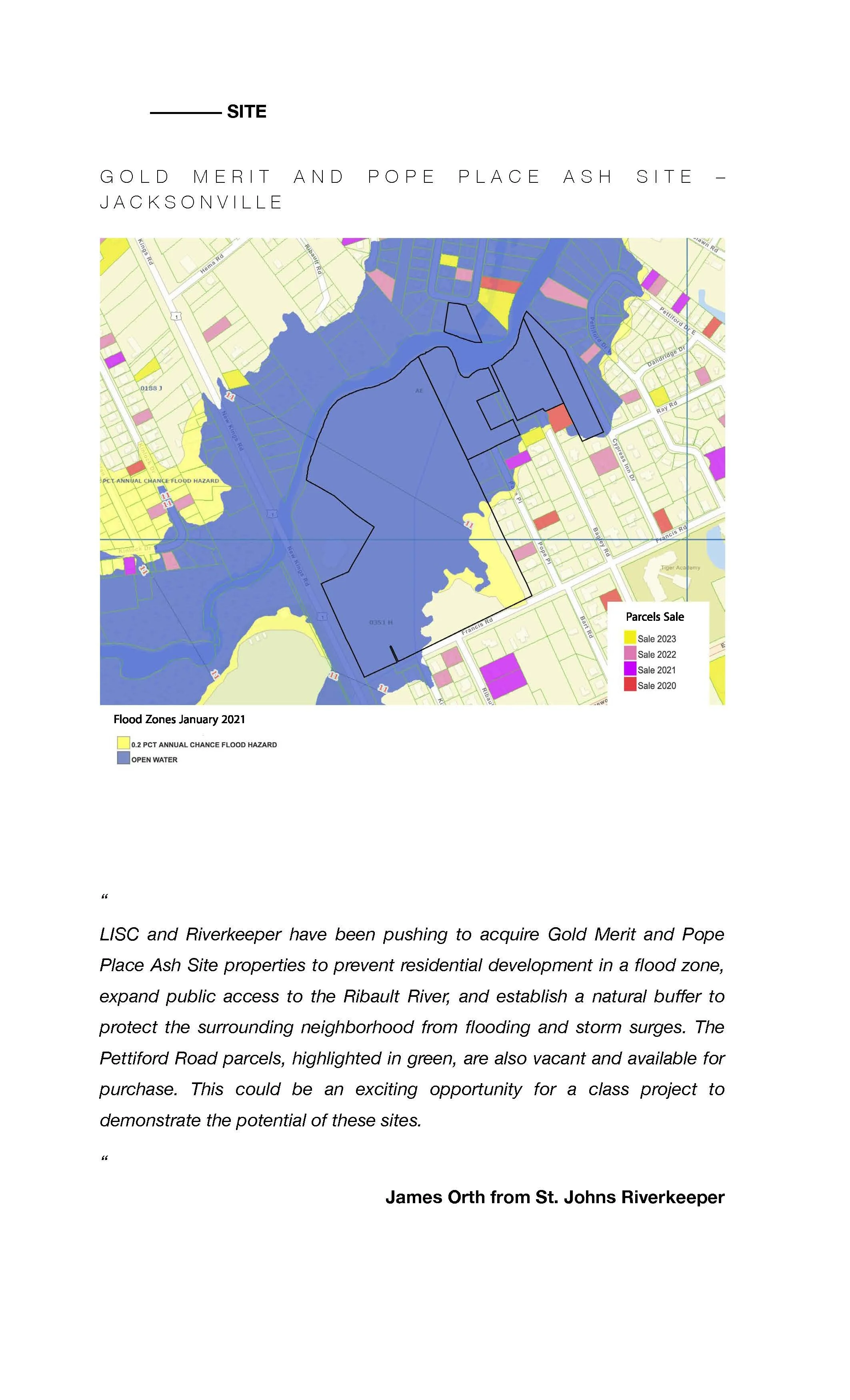
The design brief focuses on the interface between water and land in Jacksonville, emphasizing the restoration of the natural landscape and contamination mitigation. Projects should enhance flood protection while prioritizing sustainability. Key design elements include the design of public parks and flood-resilient infrastructures to activate the selected areas. Students will test their design in hazardous situations, such as the storm surge inundation caused by Hurricane Ian in 2022. The studio is partnering with St. Johns Riverkeeper to demonstrate the potential of these sites to the community and the city to prevent new home construction in flood zones and advocate for increased public access and natural buffers. We will have 2-3 visits to the site funded by the Riverkeepers.
Design studio poster.
Project brief and objectives.
Site context map.

Technology focus document.
Course module schedule.
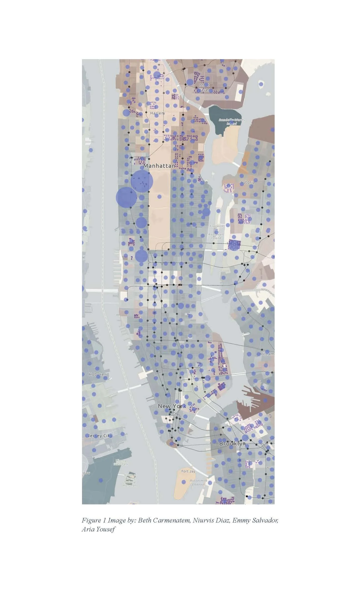
Mapping analysis figure.
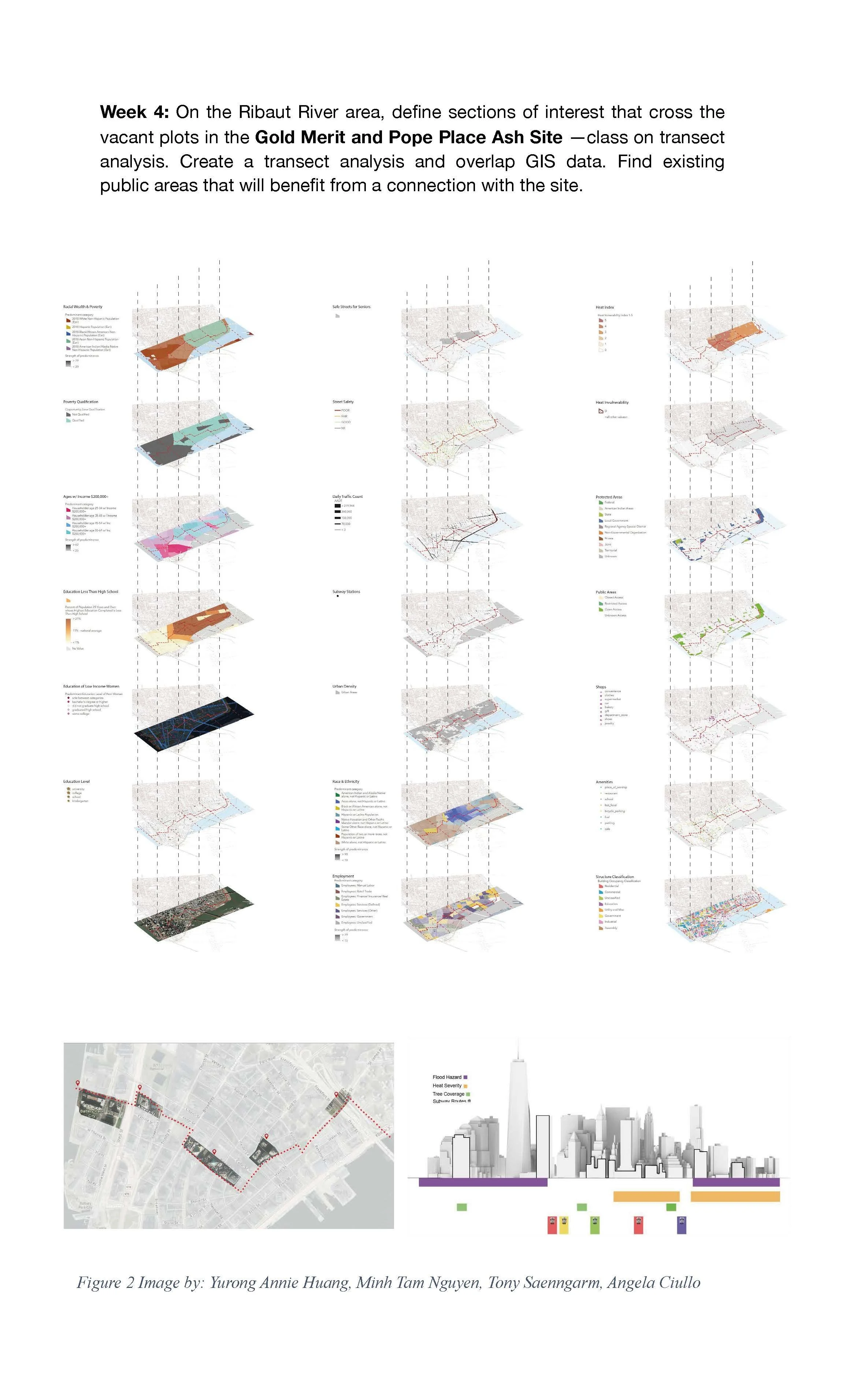
Transect analysis diagrams.

Site data collection schedule.
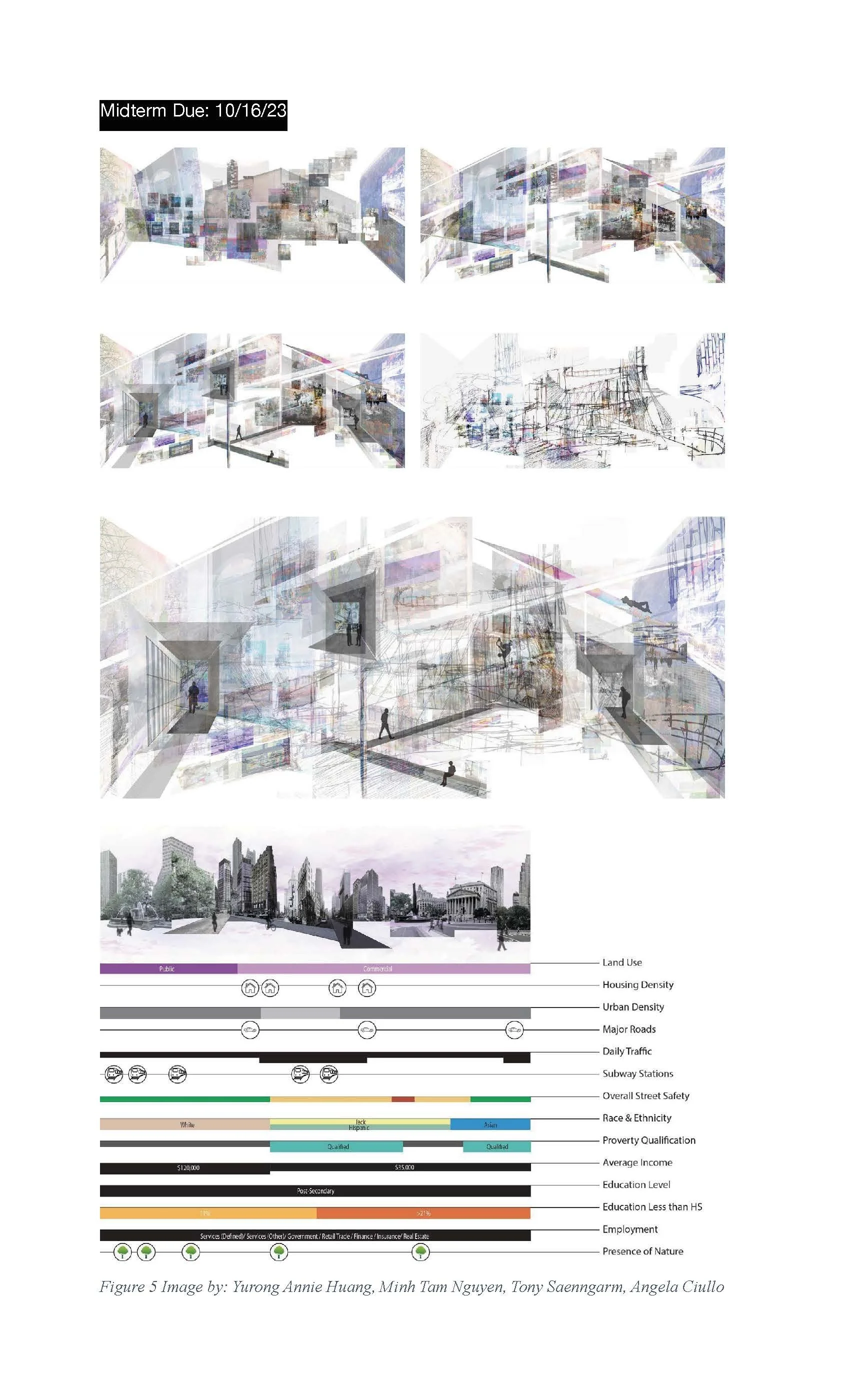
Midterm design studies and analysis.
Final design module overview.
Design exercises and development timeline.
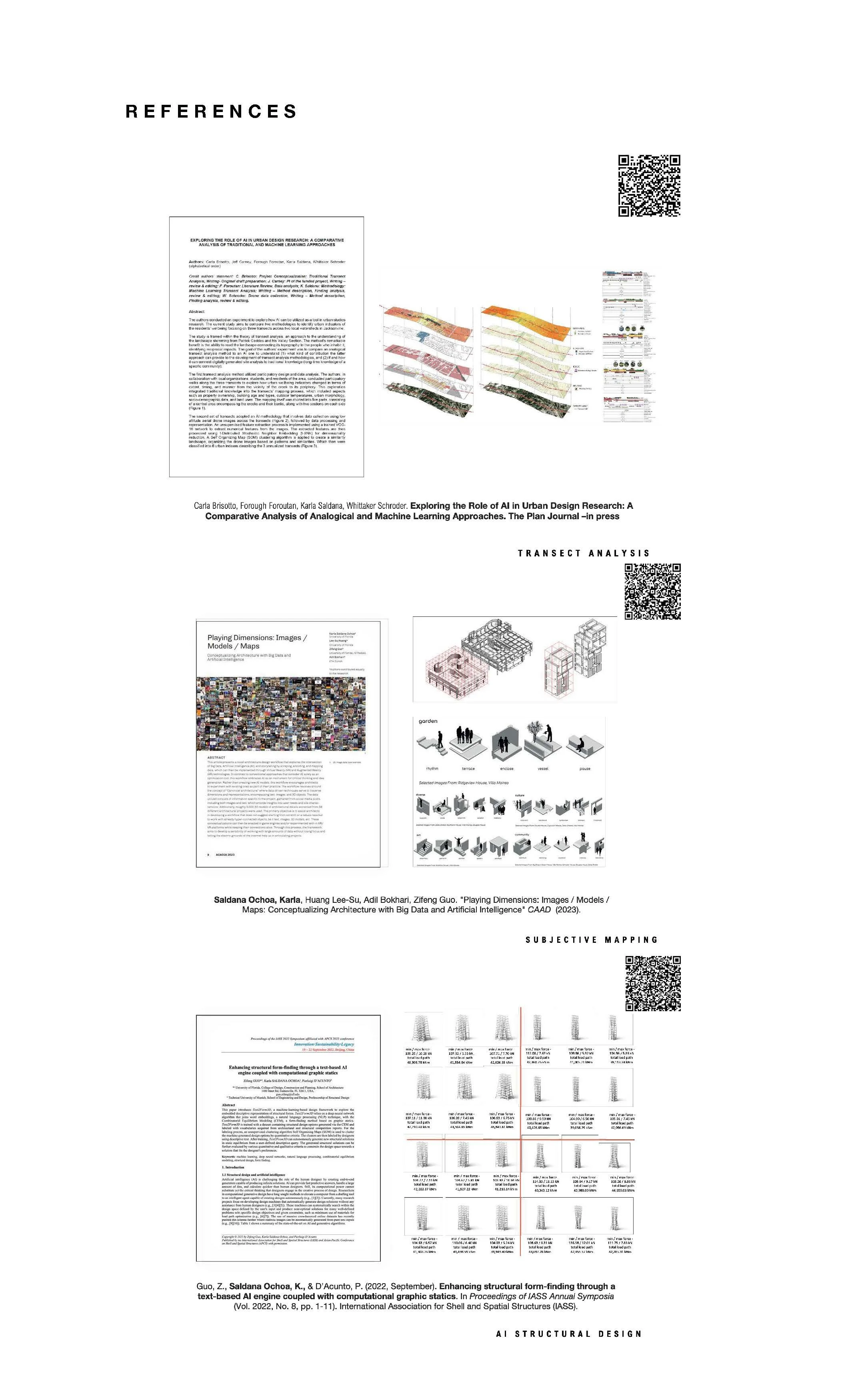
Course schedule table.
Research references and analysis diagrams.
Studio poster back cover.
Sample of Student Work

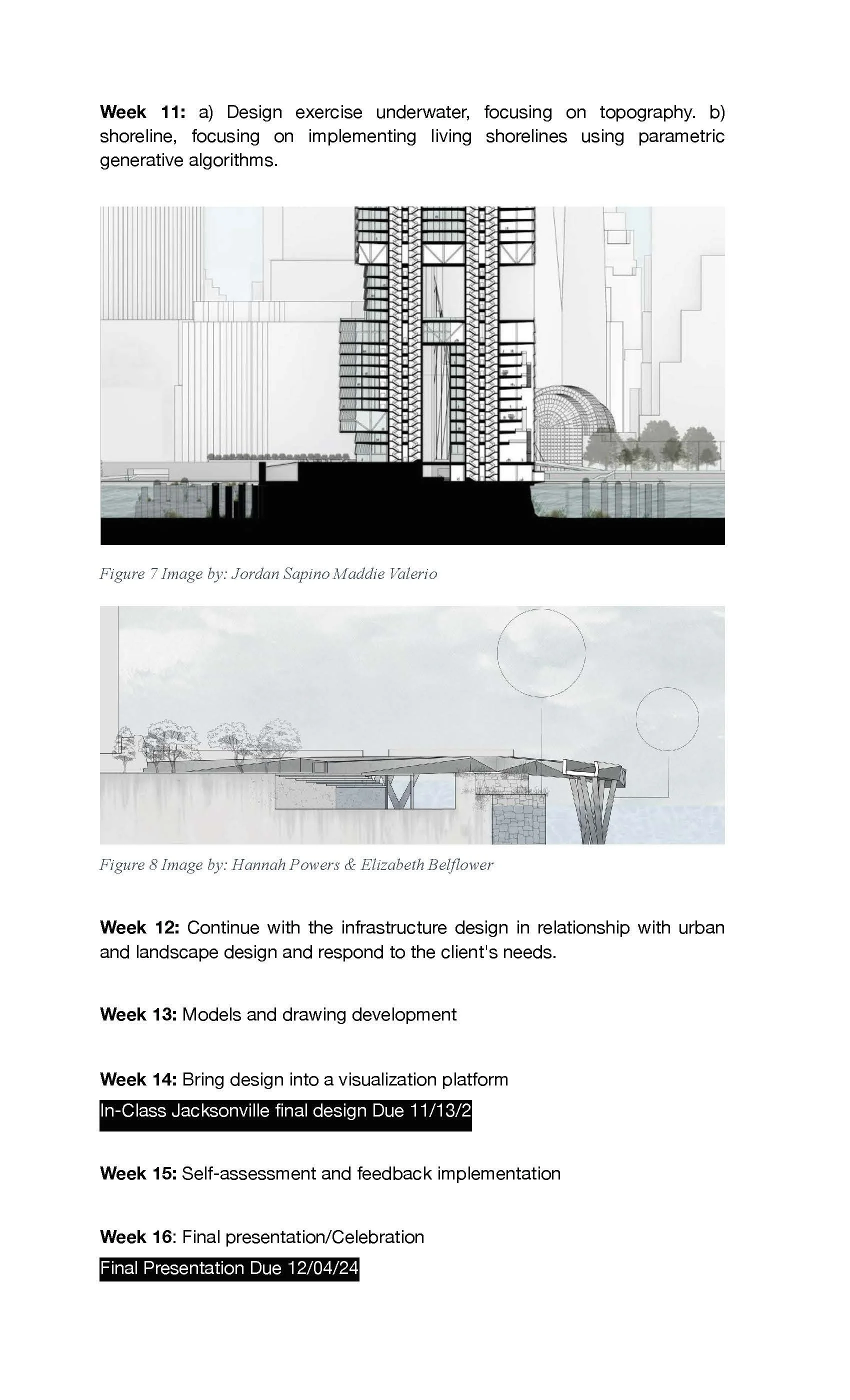
Architectural rendering of a shaded waterfront walkway.
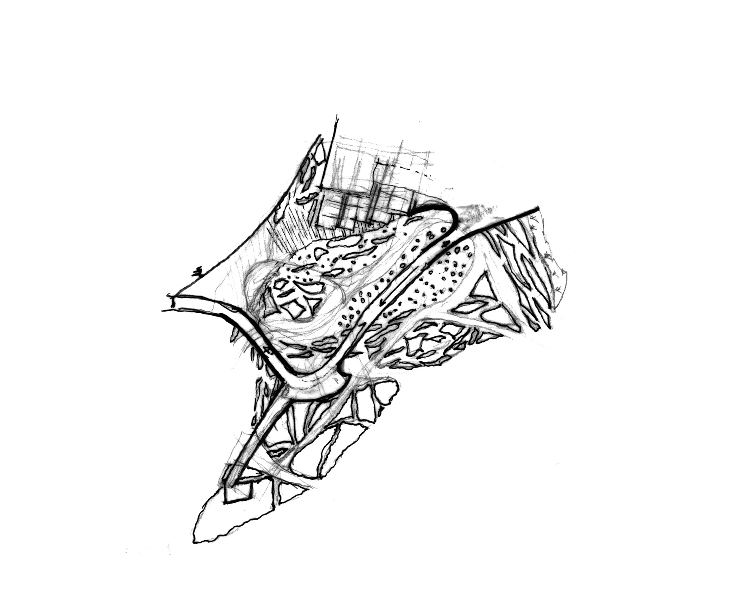
Conceptual site sketch exploring landscape and circulation.
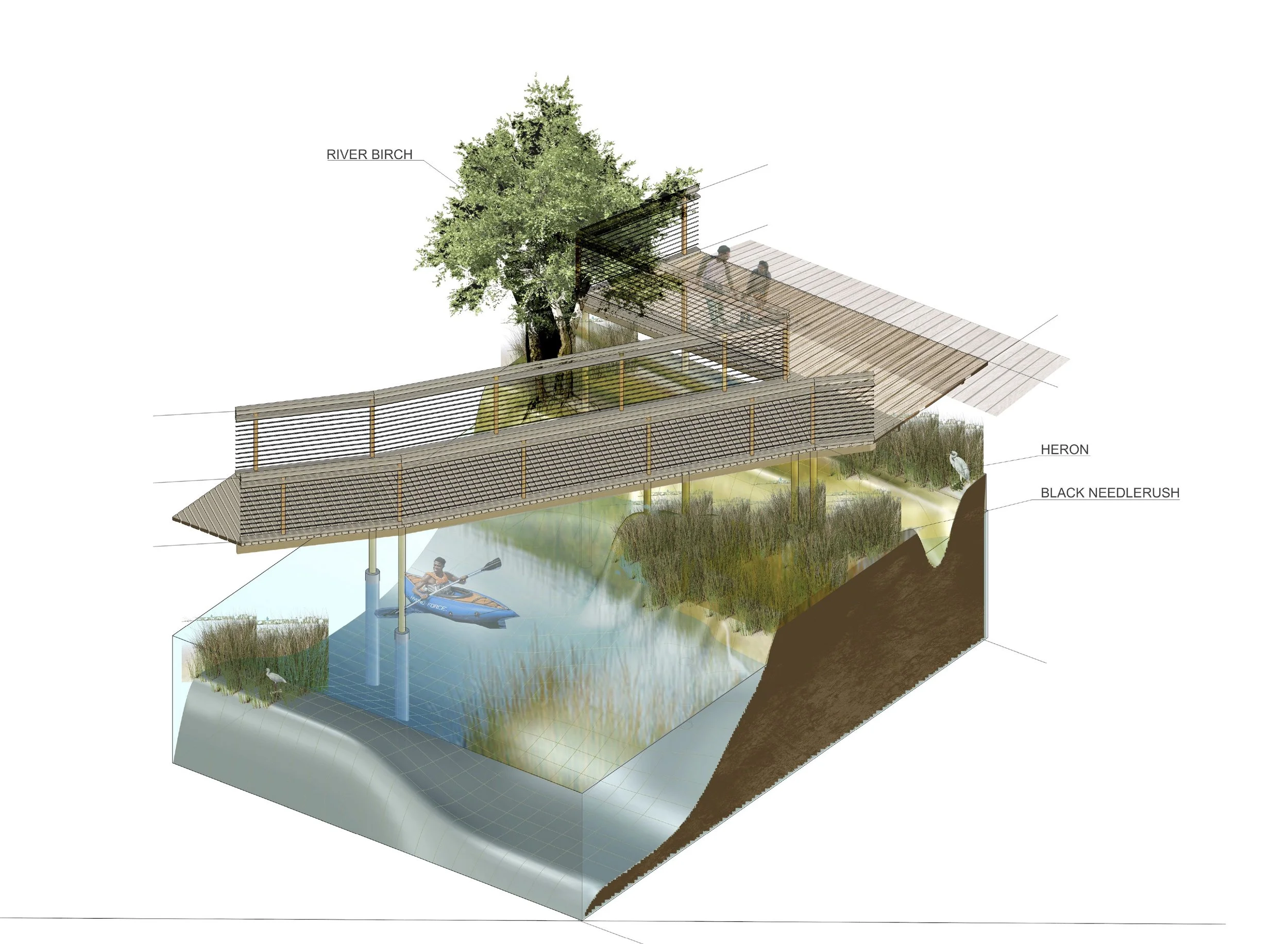
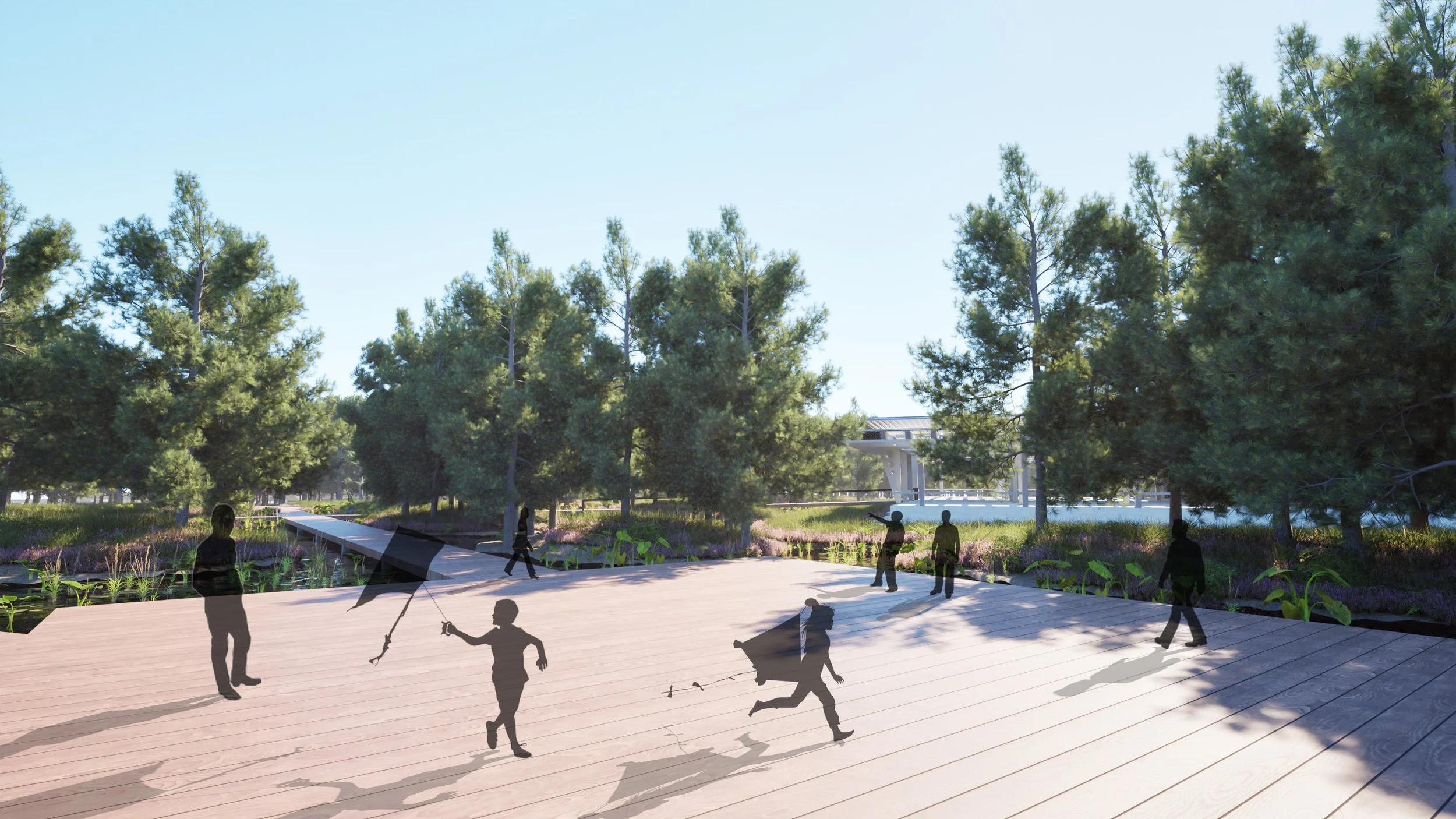
Wetland boardwalk proposal with habitat elements.

Conceptual sketch of architectural forms and site organization.

Site plan showing buildings, landscape, and waterfront paths.

Architectural floor plan with program layout.

Layered site plan showing water and circulation areas.
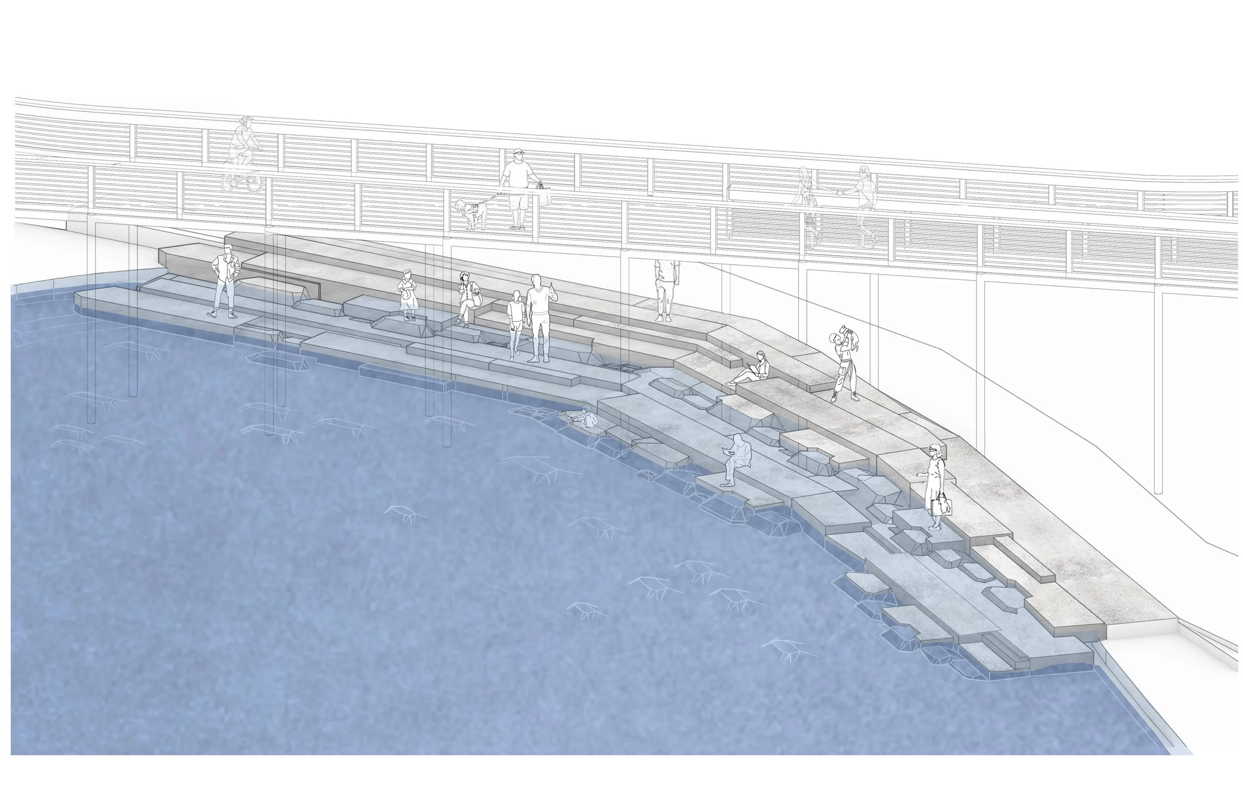
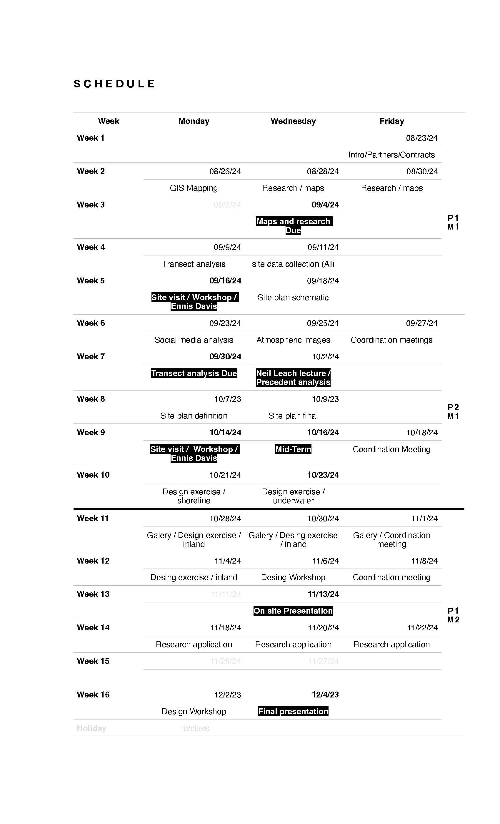
Sectional view of waterfront steps and boardwalk.

Rendering of an elevated waterfront structure.

Diagram highlighting roof and spatial elements.

Preliminary line drawing of the project layout.
Blue-toned architectural drawing with plan and elevation elements.

Aerial rendering of a waterfront campus proposal.

Community site plan with surrounding water boundaries.
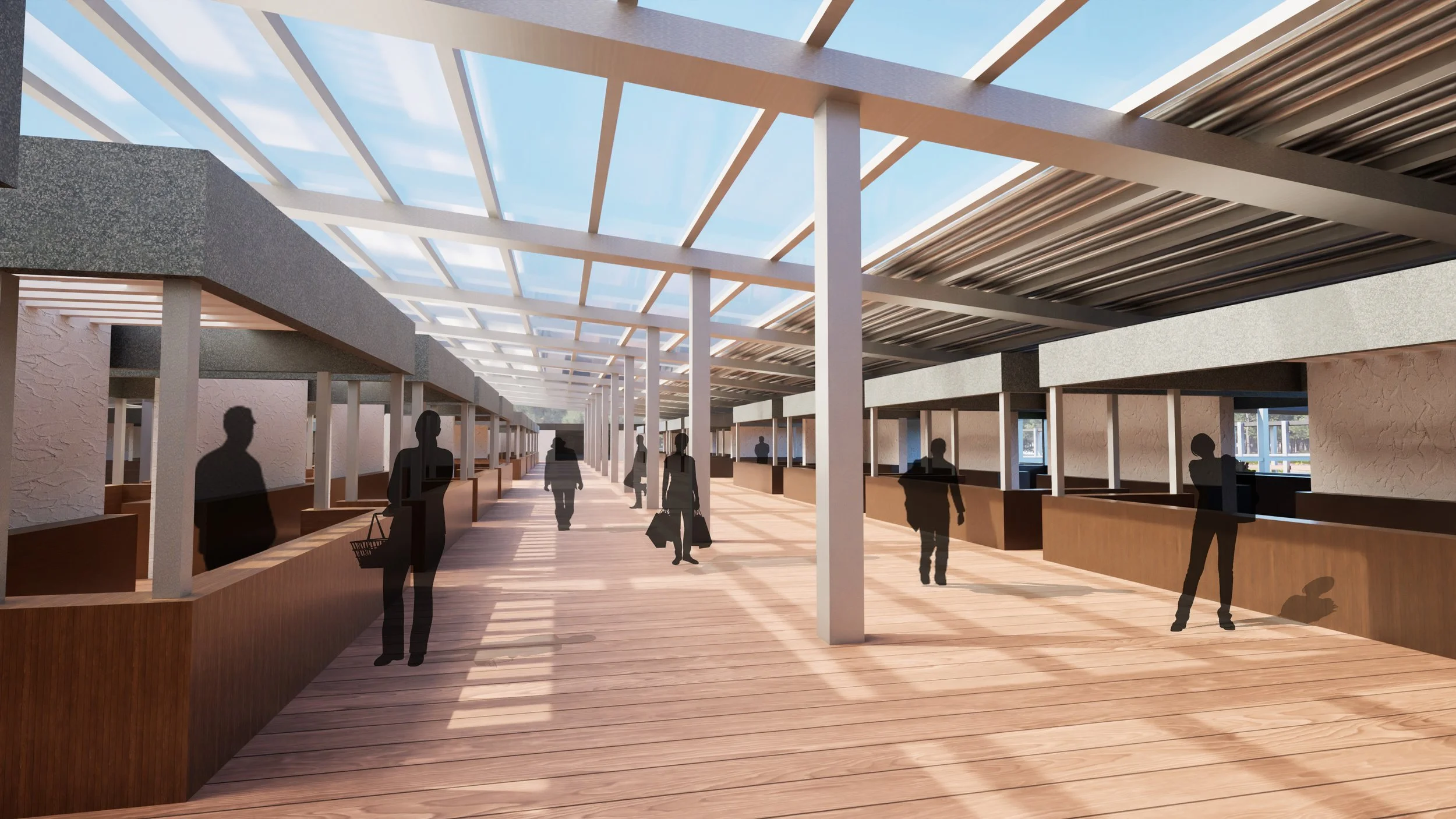
Interior rendering of a covered market hall.
Open plaza rendering with trees and people.
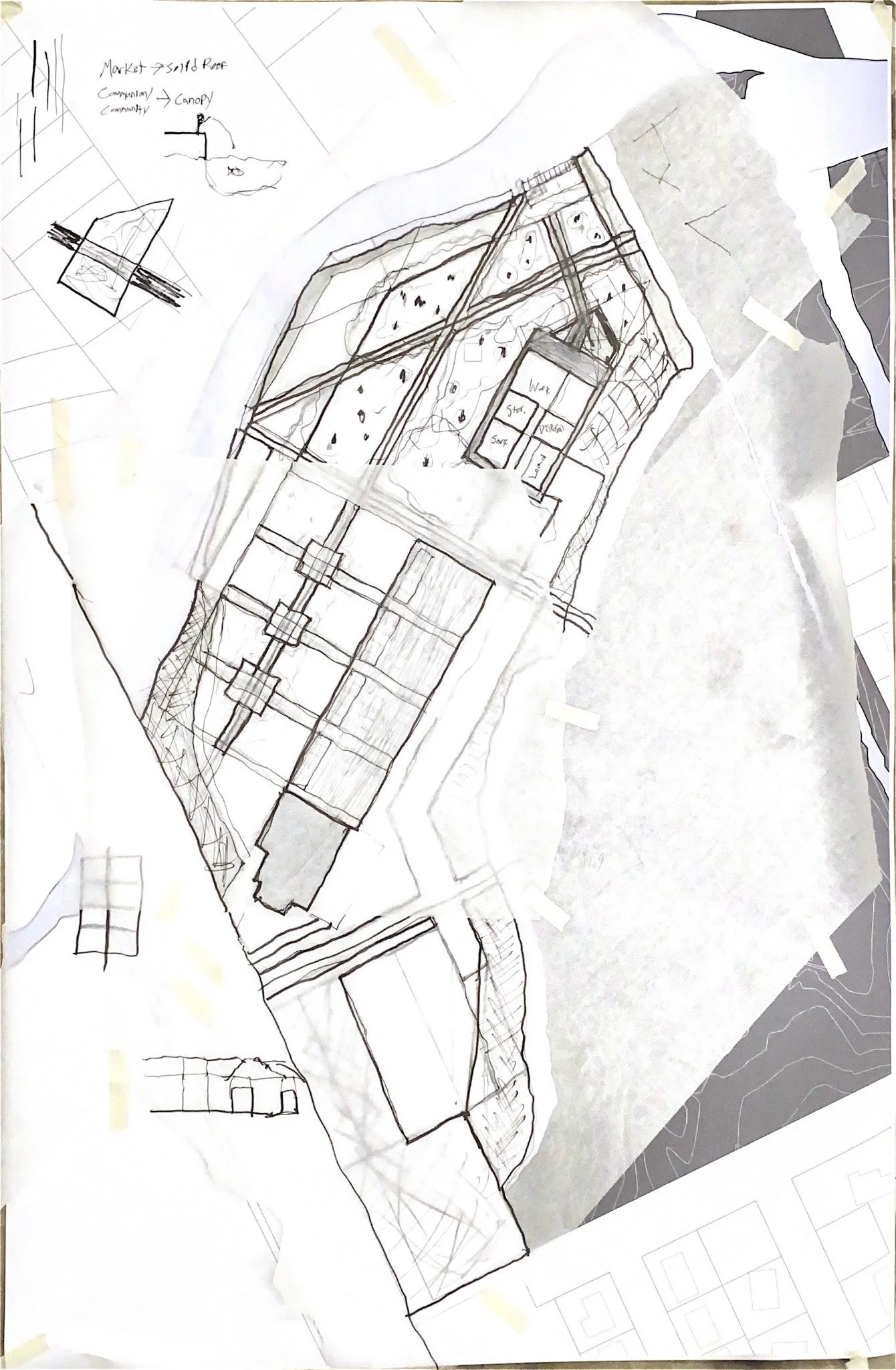
Hand-drawn site concept with layered planning studies.

Landscape and bridge proposal with plan and section studies.

Bridge design drawings with site and elevation views.
Rendering of a waterfront building with raised walkway.

Linear elevation showing a low waterfront structure.

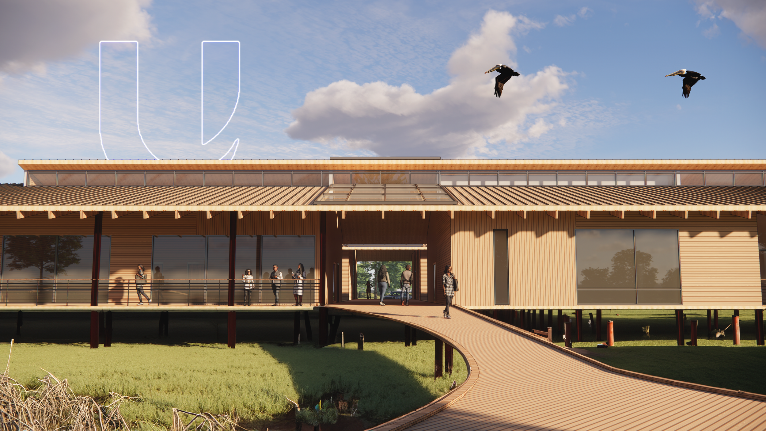
Entrance rendering for a research campus proposal.

Waterfront perspective with boardwalk and building façade.
Images of the classroom

G1 and G3 design studio presentation with reviewers and project boards.

Graduate student discussing design work with reviewers.

Reviewer listening and speaking during the studio presentation.

Design studio review with students and reviewers.

Reviewers seated in front of project boards.

Reviewers attending a design studio presentation.

Reviewer speaking during the design discussion.

Reviewers listening during the studio review.

Students presenting their project.

Students discussing project work with reviewers.

Student experiencing a VR project presentation.

Project boards displayed during the studio review.

Student explaining project drawings during the review.

Studio director observing the student presentations.

Reviewers focused on the design discussion.

Student presenting a waterfront design proposal.

Student standing beside project boards during critique.

Reviewers seated while examining studio work.

Design proposal boards arranged for review.

Reviewers watching the ongoing presentation.

Professor speaking about the design studio work.

Reviewer contributing feedback during the critique.

Reviewer addressing students during the discussion.

Close view of project boards from the studio presentation.
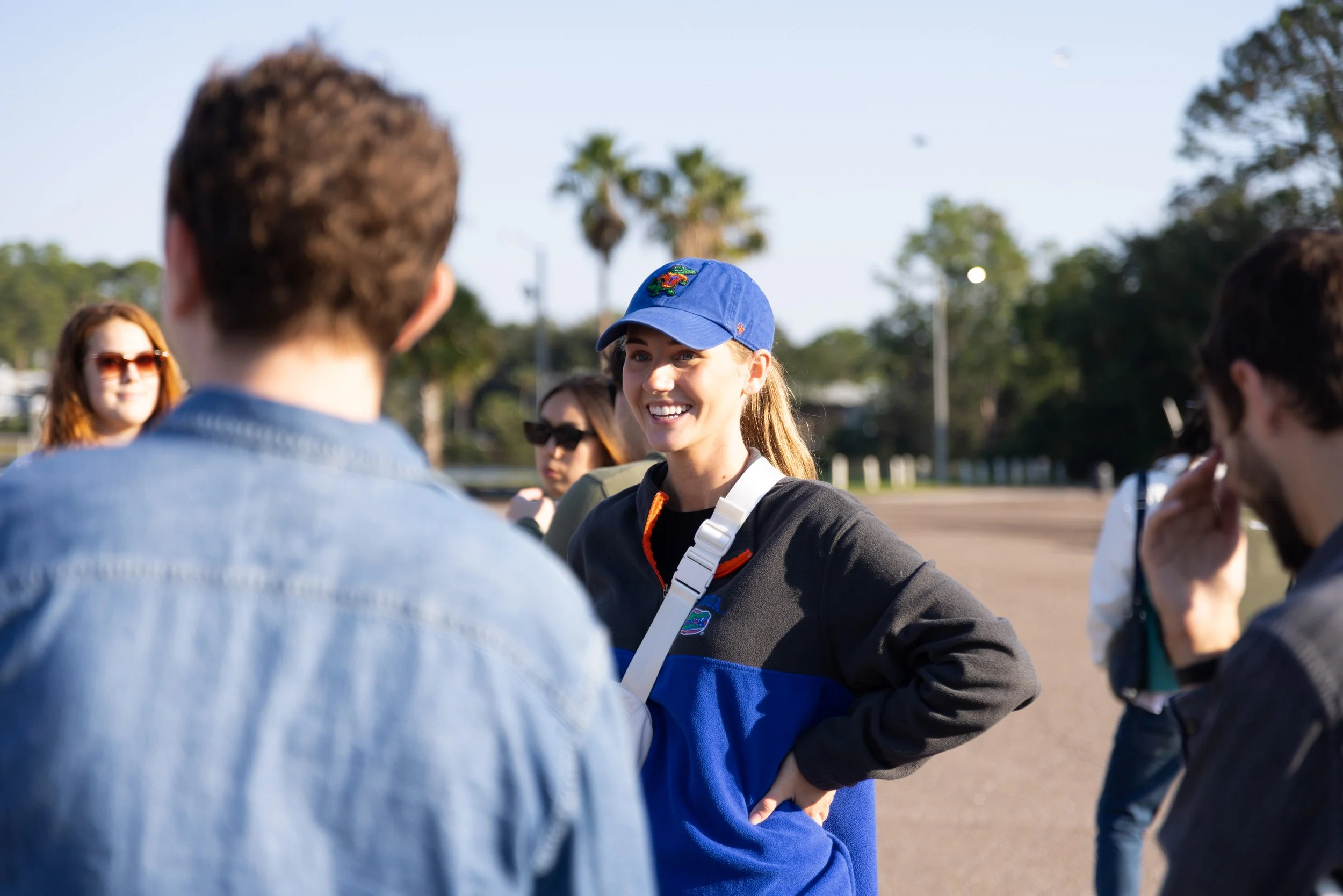
Students and faculty gathering during the site visit.
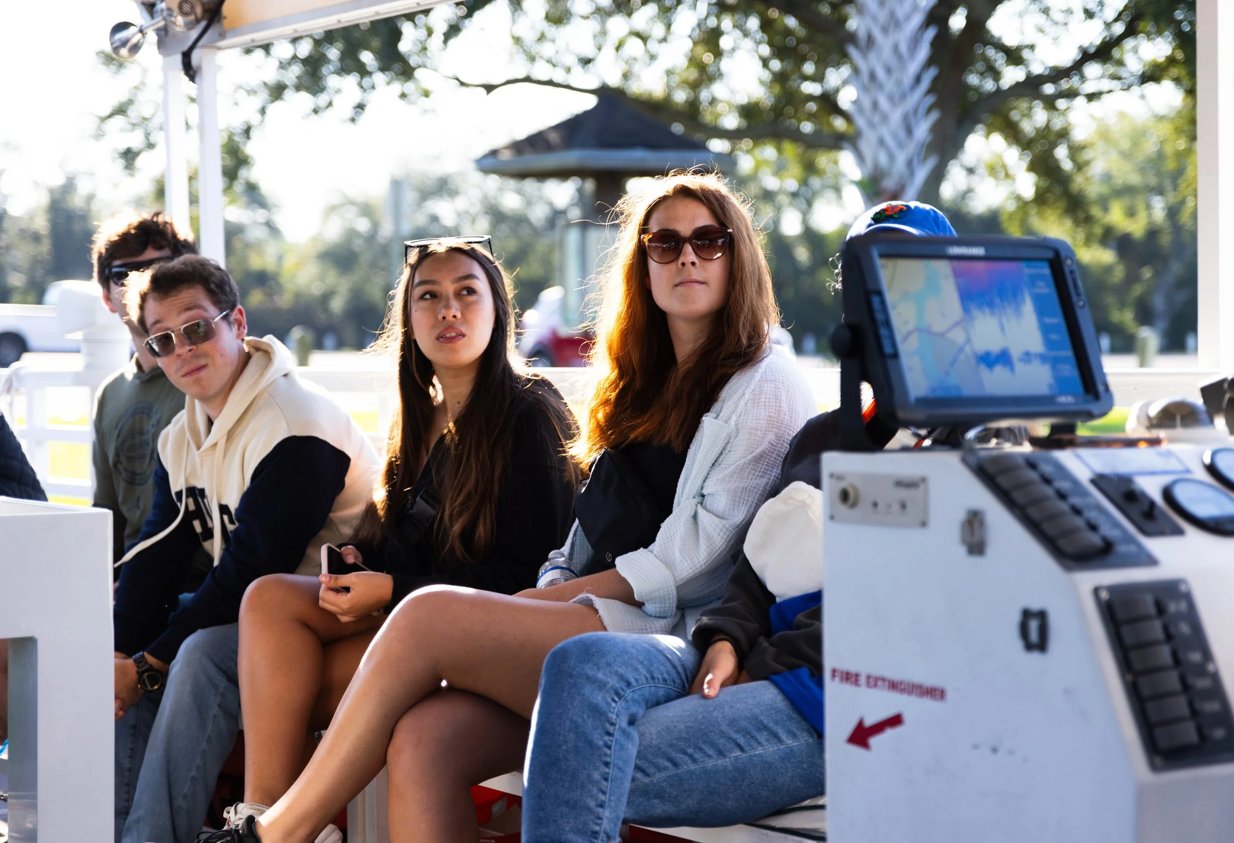
Students seated on a boat during the field trip.

Boat captain driving during the site visit.

Studio director guiding the group through the project context.

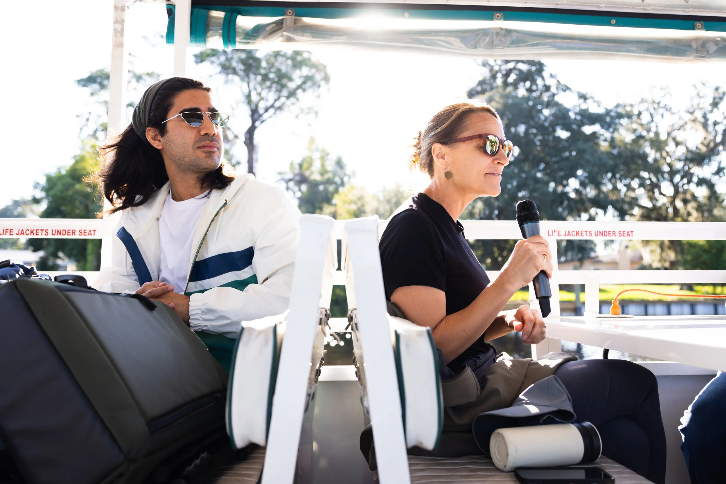
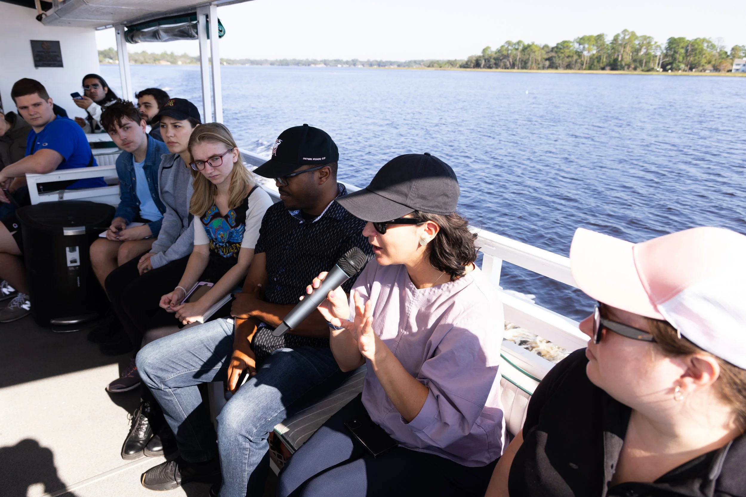
Student speaking with a microphone on the boat.
Faculty and students listening during the field discussion.

Group conversation during the waterfront site tour.

Boat captain operating the boat during the site tour.
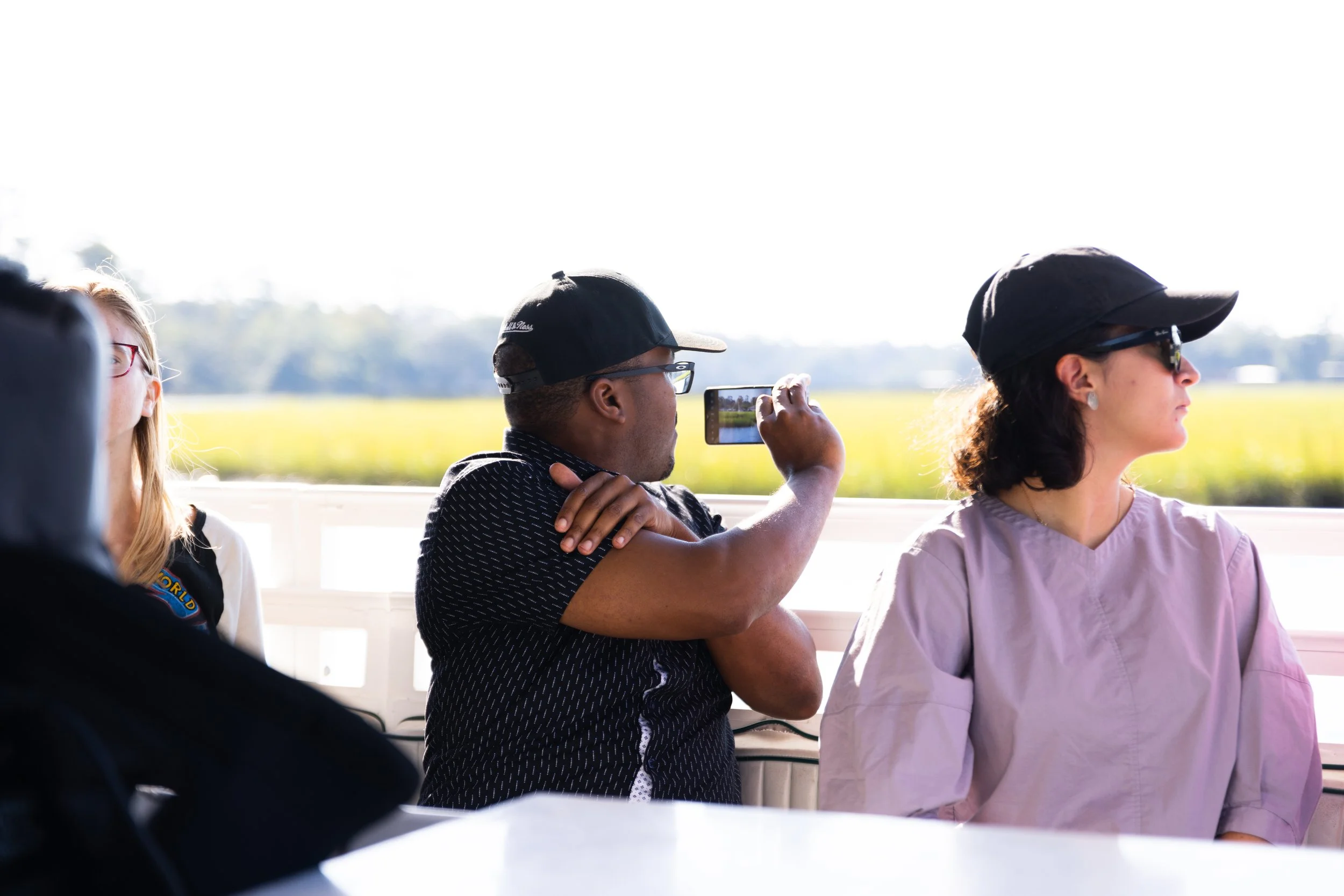
Students documenting the visit from the boat.

Guide presenting information during the context visit.

Professional addressing students during the boat tour.

Students listening to an explanation on site.

Students observing the project site from the boat.

Faculty member speaking during the site visit.
Studio director speaking to students during the boat tour.

Boat navigation screen showing the site route.

Front view of the boat during the site visit.